The Stone and the River
Archaeology of a Landscape in the Fiora Valley
Among the hills, tuff plateaus, and valleys of southern Tuscany, the Fiora River crosses a landscape where human presence has left traces for thousands of years.
Some are monumental and immediately recognizable: castles, necropolises, rock-cut roads, and settlements. Many others are harder to read: a few walls hidden by vegetation, cuts in the bedrock, ancient routes, quarries, terraces, production areas, or simply concentrations of artifacts scattered across the surface.
“The Stone and the River” Project is ACT’s Landscape Archaeology project, through which we study these traces in order to reconstruct, over the long term, the relationship between human communities and the landscape of the middle and lower Fiora Valley.
One Landscape, Two Research Concessions
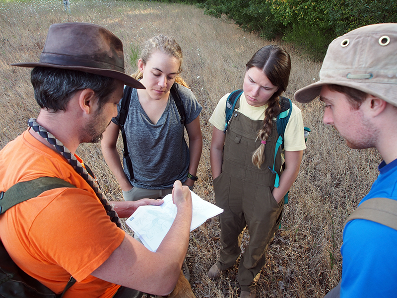
The project is conducted under two official Italian research concessions for non-invasive archaeological investigation, one covering the territories of Sorano and Pitigliano and the other the territory of Manciano.
Administrative boundaries, however, do not reflect the historical reality of the landscape. For centuries, the Fiora River, its tributaries, the surrounding uplands, natural communication routes, and rock outcrops formed an interconnected system that was crossed, inhabited, and transformed by different communities.
For this reason, our research does not focus on individual sites, but on the relationships among settlements, routes, resources, production areas, burial sites, and the physical features of the landscape. Our goal is to understand how this system changed from Prehistory through the Etruscan and Roman periods, the Middle Ages, and into the early modern era.
Reading the Landscape
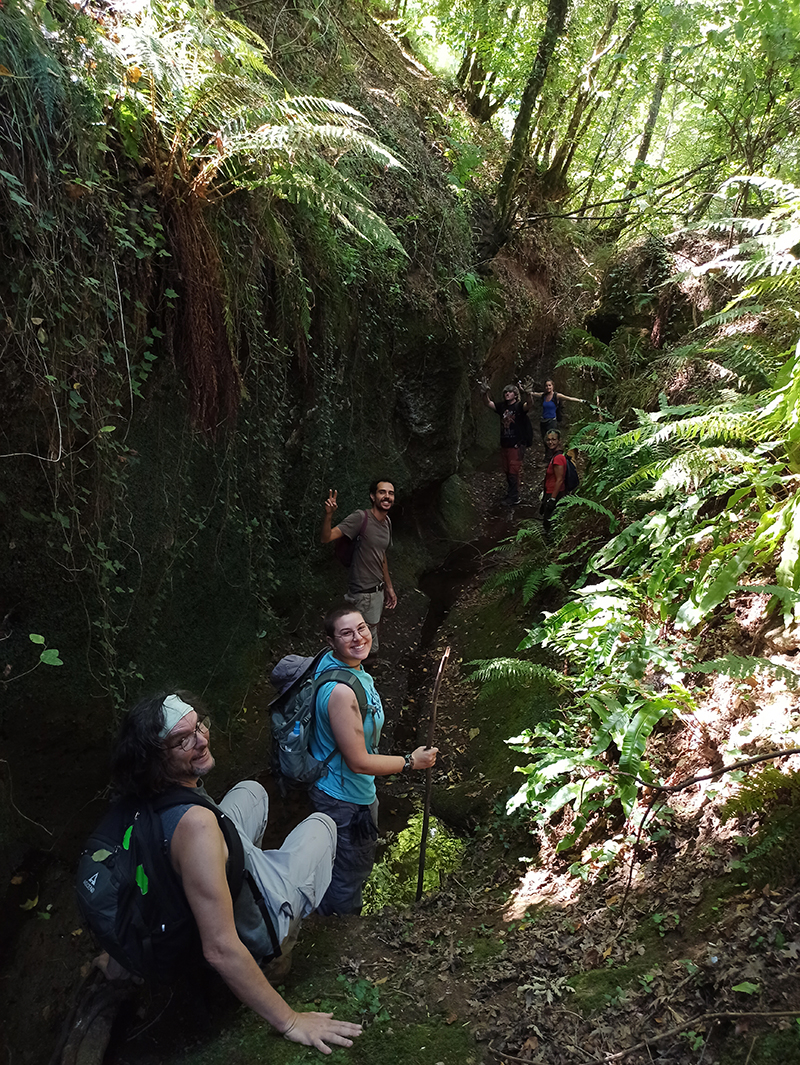
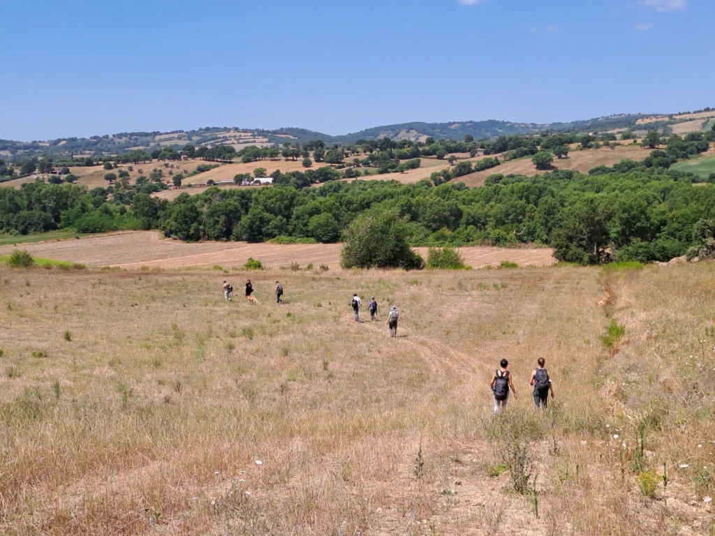
Archaeological survey begins with direct observation of the landscape.
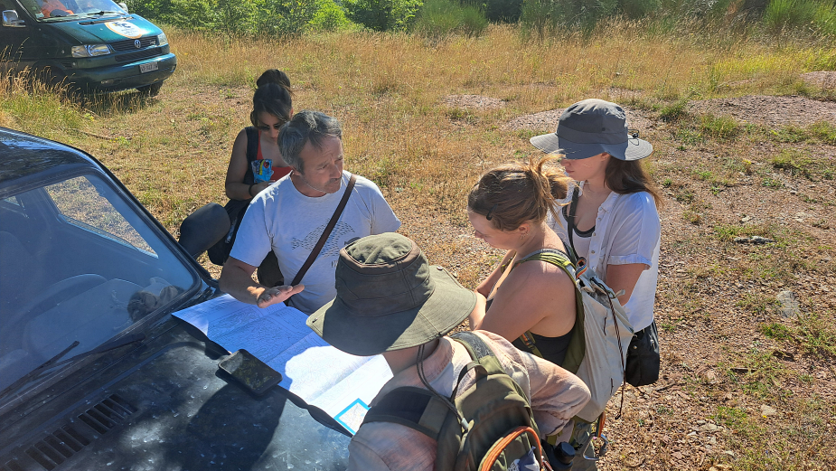
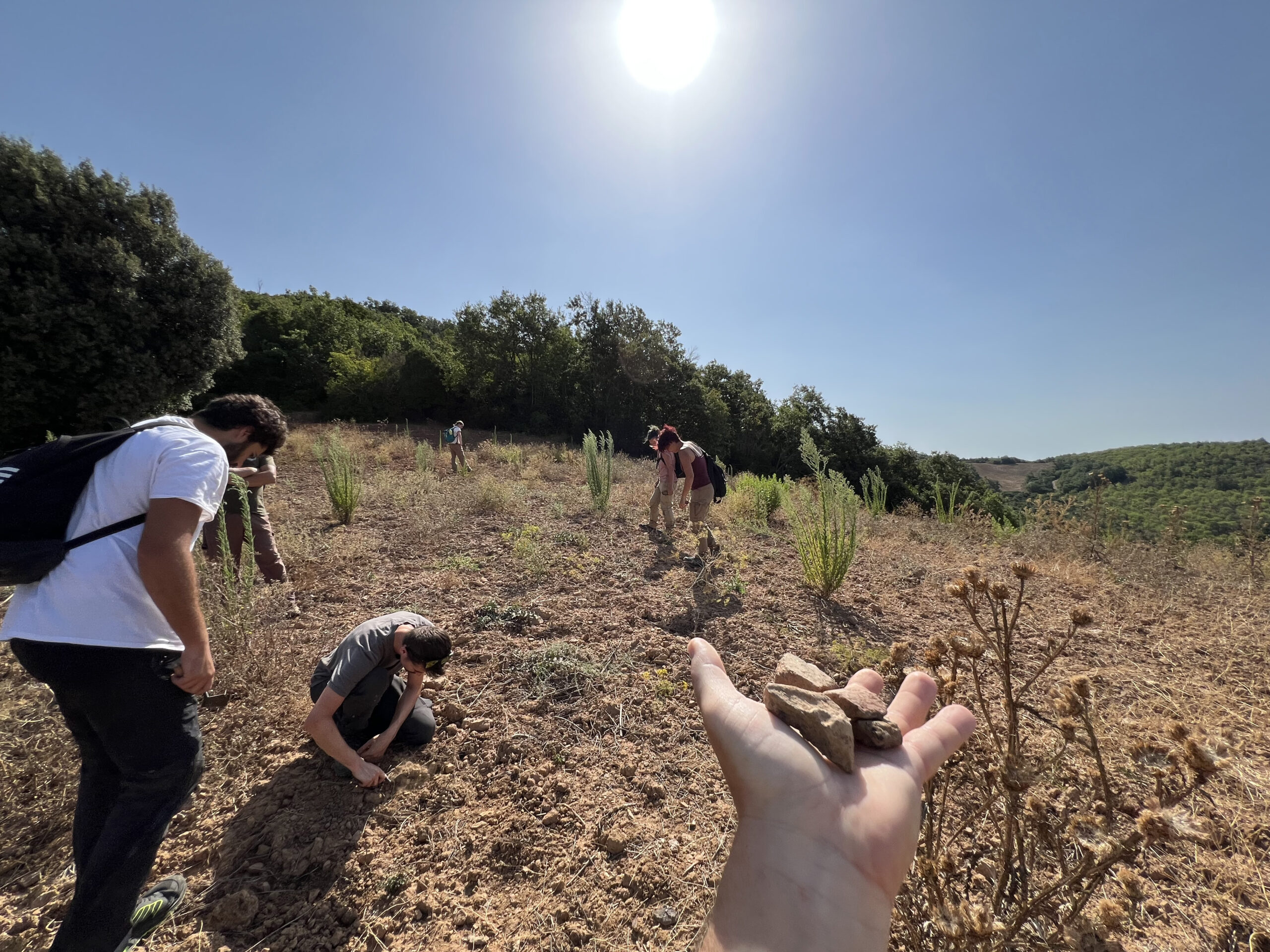
Archaeologists systematically examine the ground, record visible evidence, study the distribution of artifacts, and document structures and changes in the landscape. Fieldwork, however, represents only one part of the investigation.
Historical maps, aerial and satellite imagery, archival records, and previous archaeological data are integrated within a GIS environment together with GNSS survey data, photogrammetry, drone imagery, and digital terrain models derived in part from LiDAR data. When appropriate, the project also incorporates non-invasive geophysical survey techniques and three-dimensional documentation.
Each new piece of evidence can therefore be studied as part of a broader system rather than as an isolated point on a map.
A road acquires meaning in relation to the places it once connected. A fortification must be understood together with the routes it controlled and the resources available within its territory. A necropolis can also provide information about the settlement to which it belonged. Even a quarry or a cut in the bedrock may contribute to reconstructing the economic and social organization of an ancient landscape.
Research and Preservation
In a region with an exceptionally rich archaeological heritage, many sites and monuments have been known for centuries. Others, however, have never been properly documented archaeologically, or survive only in local memory, on historical maps, or beneath vegetation that makes them almost invisible.
What is not known cannot be protected.
Archaeological survey allows us to verify earlier reports, update outdated records, identify previously undocumented evidence, and assess its state of preservation. In this way, The Stone and the River contributes both to archaeological research and to the creation of a more reliable archaeological record for the region, one that can support heritage management, preservation, and land-use planning.
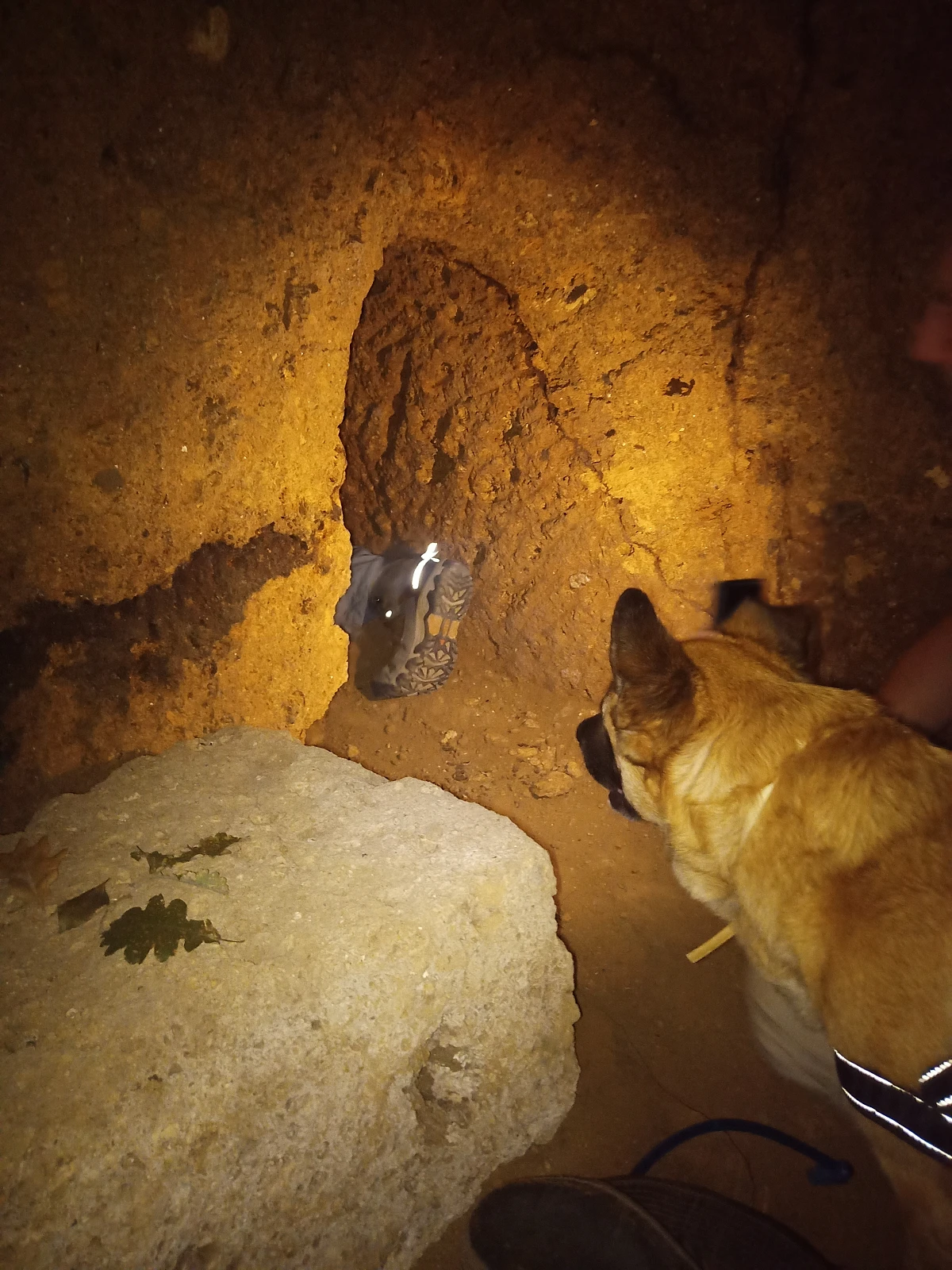
Particular attention is given to less prominent elements of the archaeological heritage, including those with little or no obvious tourism value and therefore at greater risk of being overlooked or lost: isolated structures, masonry remains, historic roads and pathways, rock-cut features, small burial or production areas, and sites far from established archaeological destinations.
A Landscape Still to Be Discovered
Our surveys have already shown how far the archaeological map of this region remains from being complete.
Fieldwork has allowed us to relocate, verify, or newly document sites previously known only through old reports, to identify structures and traces that had never been adequately recorded, and to reassess places whose earlier interpretations lacked the necessary scientific rigor.
Perhaps the most significant result, however, lies in the gradual emergence of a broader network: castles and settlements, necropolises and routes, quarries and production areas, rock-cut complexes, and apparently marginal places that, when considered together, begin to reveal a historical landscape far more complex than would be apparent from the best-known sites alone.
The Future of “The Stone and the River” Project
The project will continue by progressively extending the areas covered by archaeological survey, verifying anomalies identified through GIS analysis, historical cartography, and remote sensing, and developing more detailed documentation of the sites considered most significant.
The data collected will be incorporated into a continuously updated territorial information system capable of integrating archaeological, topographic, historical, and environmental evidence.
The ultimate goal is not simply to add new points to an archaeological map, but to understand how people inhabited, crossed, exploited, and transformed this landscape over thousands of years, while helping ensure that the traces of this history, including its most fragile and least familiar elements, can be recognized and protected.