
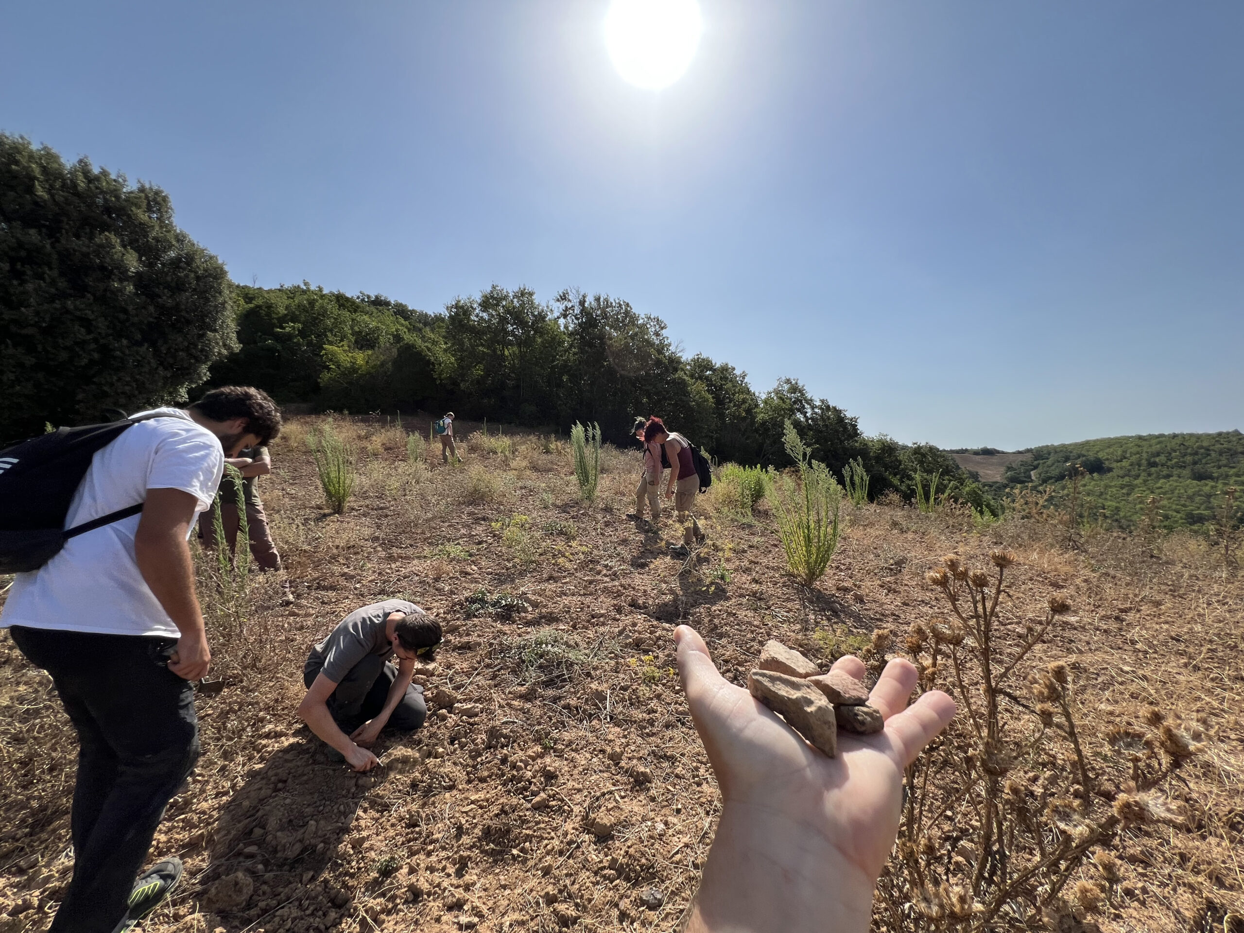
ACT begins a new phase of research across Sorano, Pitigliano, the Monti Romani, and the Tafone Valley
Associazione Cultura e Territorio (ACT) has been granted two research concessions for noninvasive archaeological investigations in the Fiora Valley. One covers the territories of Sorano and Pitigliano; the other covers the Monti Romani and the Tafone Valley in the municipality of Manciano, across a broad area extending from Campigliola to the road to Ponte dell’Abbadia.
The two concessions mark an important step for ACT. They allow us to develop a coordinated research program built on many years of work in the region. Although the projects cover separate administrative areas, both belong to a connected historical and geographical landscape. For millennia, the Fiora River and its tributaries, the tuff plateaus, the hills, natural routes, and areas where resources were exploited have linked communities and settlements.
Our aim is to reconstruct how this landscape was organized and transformed from prehistory through the early modern period, placing individual sites within their wider territorial setting.
Sorano and Pitigliano: Beyond the Major Sites
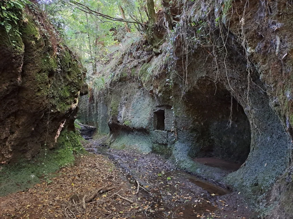
Sorano and Pitigliano are best known for their Etruscan necropolises, rock-cut roads, rock-cut settlements, and medieval towns built on tuff plateaus. Remarkable as these monuments are, they represent only the most visible part of a much more complex archaeological landscape.
Beyond the best-known sites are smaller necropolises, old routes, terraces, quarries, rock shelters, production areas, concentrations of archaeological materials, and traces of settlement that have not always been documented systematically. Some are known from older reports or local knowledge. Others appear on historical maps, in aerial photographs, or in digital terrain models. Still others can be identified only through direct observation in the field.
The planned surveys will verify and update existing information, relocate and accurately map known remains using modern surveying equipment, and identify sites or landscape features that have not previously been recorded. Particular attention will be paid to the relationships among settlements, fortifications, necropolises, routes, production areas, and natural resources.
This work will also provide a broader context for ACT’s research at individual sites. Rocca Tédula, for example, cannot be understood apart from the network of routes, settlements, agricultural areas, and strategic points that shaped its location and functions. Likewise, the necropolises and rock-cut settlements of the tuff region must be studied in relation to the communities that created them and the landscapes in which they developed.
The Monti Romani and the Tafone Valley
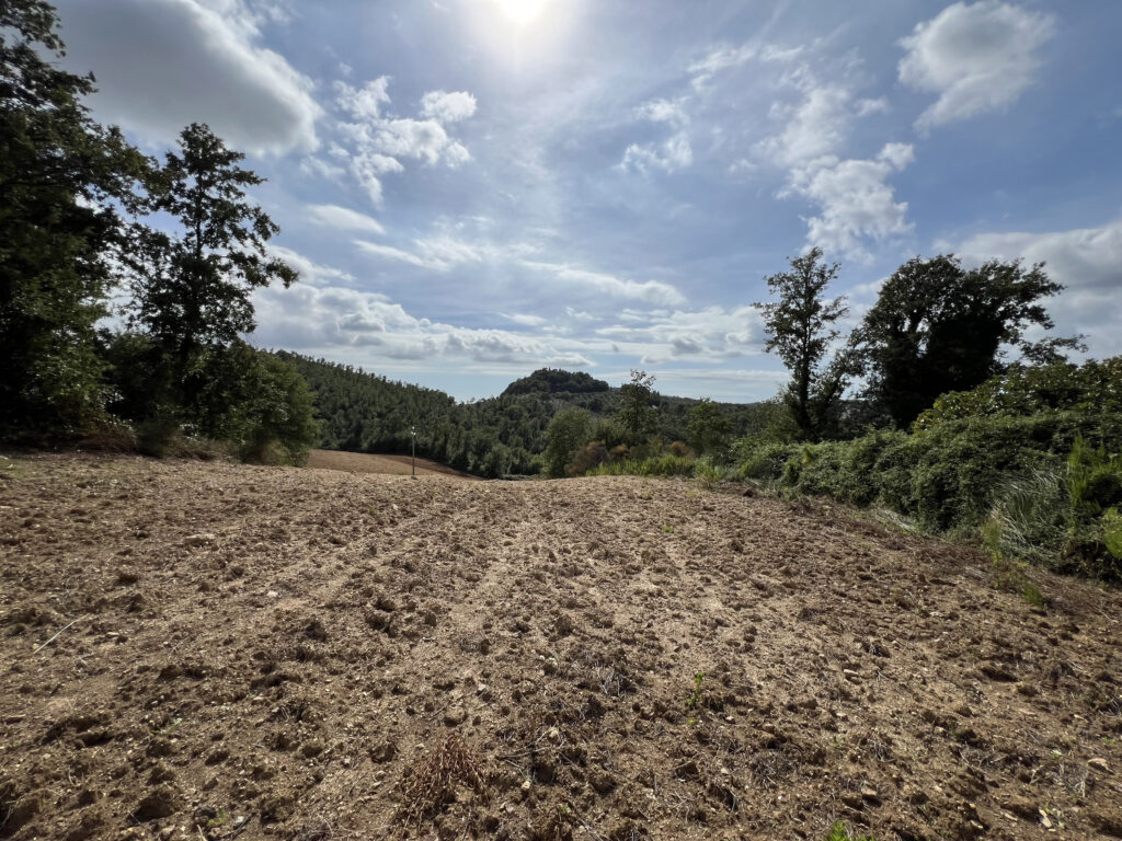
The second concession covers part of the municipality of Manciano, particularly the area between the Monti Romani and the Tafone Valley, from Campigliola toward the road to Ponte dell’Abbadia.
This area lies along routes connecting southern Tuscany, the Fiora Valley, and northern Lazio. At different times, it also formed part of a border region, particularly in relation to the territories of the Papal States and the control of routes and local resources.
The landscape preserves evidence of different periods and activities, including settlements, fortifications, routes, burial areas, quarries, rural structures, and possible traces of mineral resource extraction. Studying these features may help us understand the relationships among transportation, territorial control, production, and settlement, as well as the locations of individual sites.
Research in the Monti Romani and the Tafone Valley will therefore contribute to an updated archaeological map that brings together existing knowledge, new field survey results, and territorial analysis. This resource will support both research and the protection of archaeological remains that are widely dispersed, often difficult to see, and consequently vulnerable.
An Integrated, Noninvasive Approach
Neither concession involves archaeological excavation. The research will use noninvasive methods chosen according to the characteristics of each area and the questions being investigated.
The first stage will examine published research, archival records, historical maps, aerial and satellite imagery, and existing archaeological data. These sources will be organized in a geographic information system (GIS) and compared with digital terrain models, LiDAR data, place names, local reports, and other evidence relevant to understanding the landscape.
Fieldwork will include systematic and targeted survey, photography, GNSS mapping, analysis of standing structures and masonry techniques, photogrammetry, and three-dimensional modeling. Additional noninvasive survey techniques may be used where the conditions and research objectives warrant them.
Each feature will be assessed in its topographic and historical context. An isolated wall, a cut in the bedrock, a concentration of artifacts, or a stretch of old road can often be understood more fully when considered alongside other elements of the landscape.
Research, Heritage Protection, and Education
A fuller archaeological record is also essential to heritage protection. Remains that have not been accurately located and documented may be overlooked during land-use changes, infrastructure projects, agricultural work, or vegetation management. For this reason, summary data from our surveys will be submitted to Italy’s National Geoportal for Archaeology (Geoportale Nazionale per l’Archeologia, GNA), as required by law.
The two concessions will allow us to produce updated, verifiable documentation, assess the condition of sites, and identify places that require further study or protective measures. We will pay particular attention to less monumental remains. Although they may attract little public attention, they are often essential to understanding how the territory developed and functioned.
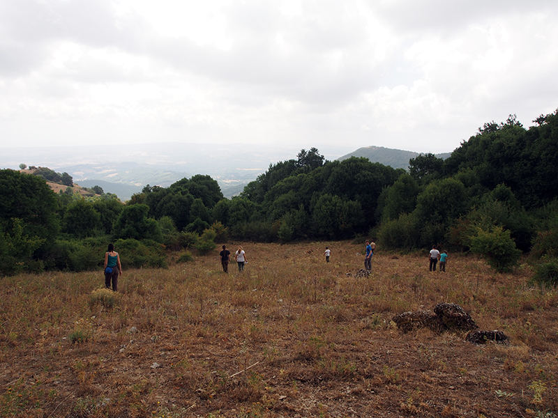
The research will also be integrated into the training offered by La Biagiola International School of Archaeology. Under the guidance of qualified archaeologists, students will be able to take part in successive stages of the work: preparing maps, surveying in the field, recording and mapping evidence, managing data, and interpreting results. Their training will thus take place within active research projects and contribute directly to the study and protection of the region’s heritage.
A Project Open to the Community
The research will develop over the coming years. Given the size of the areas involved, fieldwork will be planned by sector. Each phase will begin with an assessment of available information and continue through field verification, analysis, and integration of the results into the GIS.
Local communities will have an important role in this process. People who live and work in the area may know of sites or landscape features through personal observations, photographs, documents, or accounts that have never entered the archaeological literature. Such information requires scientific verification, but it can provide valuable leads for research.
ACT will therefore continue to welcome reports and information from the community, while protecting the confidentiality of sensitive archaeological locations.
These two new concessions bring together experience, methods, and projects developed over many years of work within a broader territorial framework. From the tuff region to the Tafone Valley, they will allow us to study the archaeological landscape as a connected historical system, relating its major monuments to the more subtle and fragile traces left by the communities that inhabited, crossed, and transformed it.
Leave a Reply